


Council study flags 72 Solihull sites as potential Grey Belt
A council-commissioned study identified dozens of sites which could be earmarked as ‘Grey Belt’ under updated government planning rules.
Solihull council says the identification of Grey Belt land – areas considered to make a limited contribution to the purposes of the Green Belt – does not mean those sites will automatically be allocated for development in the borough’s emerging local plan.
But the updated Green Belt assessment could be used as a material consideration in determining planning applications, according to the study.
The survey, carried out by Arup, will form part of the authority’s evidence base for its emerging local plan, replacing an earlier study carried out prior to the government’s formal introduction of Grey Belt land as a concept in late 2024.
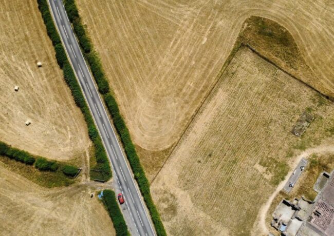
Solihull has traditionally been protective of its Green Belt, which makes up around two thirds of land in the borough and includes the Meriden Gap, intended as an area of separation between Birmingham and Coventry.
But that commitment is expected to come under increasing degrees of pressure as the authority puts together its latest local plan, expected to be submitted next year under an updated government process designed to speed up the preparation of local development frameworks.
Local housing need has jumped by 63% in Solihull to 1,331 homes per year and under the revised National Planning Policy Framework, councils are now expected to assess whether so-called Grey Belt land could be released to help meet housing needs before ruling out further development.
“It should be noted that the GBA represents evidence for the emerging plan and is not a document that sets out the council’s policy on Green Belt matters,” said a covering letter submitted with the assessment.
“It will be a policy decision in the emerging local plan which sites may be released from the Green Belt to accommodate development needs across the Borough. In addition to being used to inform the emerging plan it is also capable of being a material consideration in determining relevant planning applications.”
A total of 99 sites were assessed as part of the study, which showed that 72 land parcels could meet the Government’s definition of potential Grey Belt, despite many also making a strong contribution to the Green Belt when assessed against the full range of planning purposes.
A total of 66 parcels of land were identified as making a strong or moderate contribution to Green Belt, primarily located next to the large built up areas of Solihull/Shirley and Coventry, and around the towns of Knowle, Dorridge and Bentley Heath, and Balsall Common.
Most of the areas picked out as potential Grey Belt were around the borough’s inset villages, despite most scoring strongly for their openness and role in safeguarding the countryside from encroachment. Crucially, openness and safeguarding the countryside are not part of the government’s Grey Belt test.
The assessment also identifies four areas of ‘fundamental importance’ within the Green Belt in Solihull for their contribution to the Green Belt, with three situated within the Meriden Gap.
“The release of Green Belt land in the Solihull Local plan should be carefully considered in these areas to establish whether they would ‘fundamentally undermine’ the remaining Green Belt,” the study warned.
Cllr Andy Mackiewicz, Cabinet Member for Climate Change and Planning Portfolio, said the authority was publishing the findings of the study to allow residents to digest the contents prior to the next round of consultation on the areas emerging local plan.
“This updated GBA is needed as an evidence document to inform our emerging Local Plan – it should not be viewed as setting Council policy on Green Belt matters,” he said.
“Decisions about whether any sites should be released from the Green Belt to meet future development needs across the borough will be made through the Local Plan process.
“I also want to be clear, the identification of potential grey belt land does not mean those areas are suitable for development. Nor does it mean that entire land parcels assessed as containing grey belt would automatically be considered for development.”